South Sister had been on my bucket list for a while. Thousands of people make it to the summit each summer. The route is not technical, has no known open crevasses, and has a pretty "mellow" slope. Still, that does not make it an easy hike: you gain over 4,000 ft in just 6 miles, with the real climbing packed into the final 3 miles. Knowing it would be a challenge, I trained on one of the more difficult trails up Spencer Butte, a local mountain in Eugene. My training route gains about 1,000 ft in 0.71 miles, roughly matching the steepest part of the South Sister Summit Trail. After training for about two months, I decided to scout the trail on June 12. My plan was to practice some route-finding and reach the plateau.
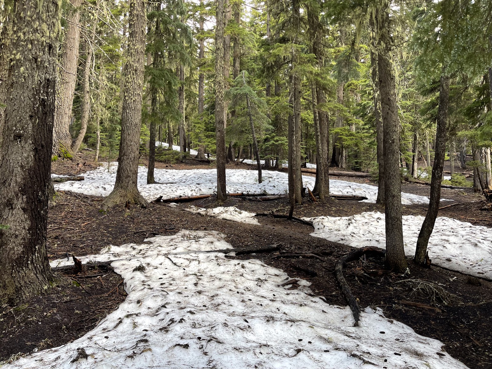
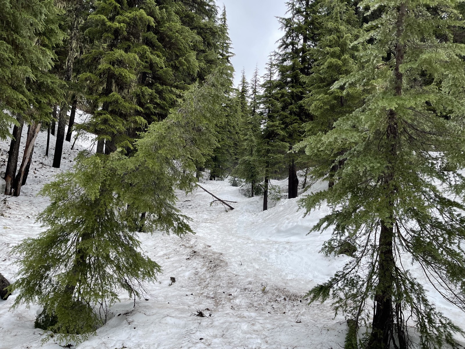
I left Eugene around 6 in the morning, and the drive to the trailhead took about 2.5 hours. As I got closer, I started to worry about the thick clouds hanging over the summit. They could create whiteout conditions at higher elevations. After eating breakfast in the parking lot, I started my journey. The first portion of the trail runs through a forest, and because it was still early in the season, deep snow covered the trail. About a quarter-mile in, as the trail grew steeper, I put on my microspikes. This section should be easy in summer without the snow, but early in the season, it takes some route-finding to make your way out of the forest.
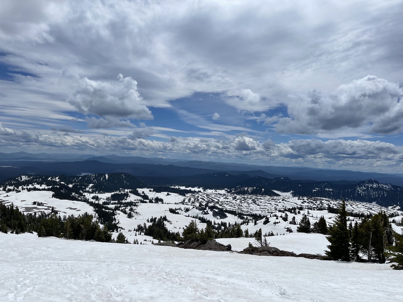
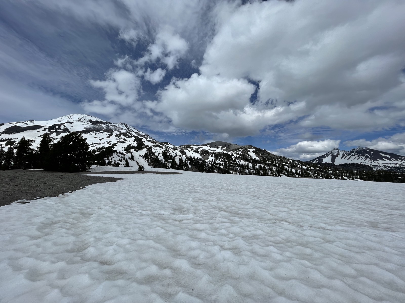
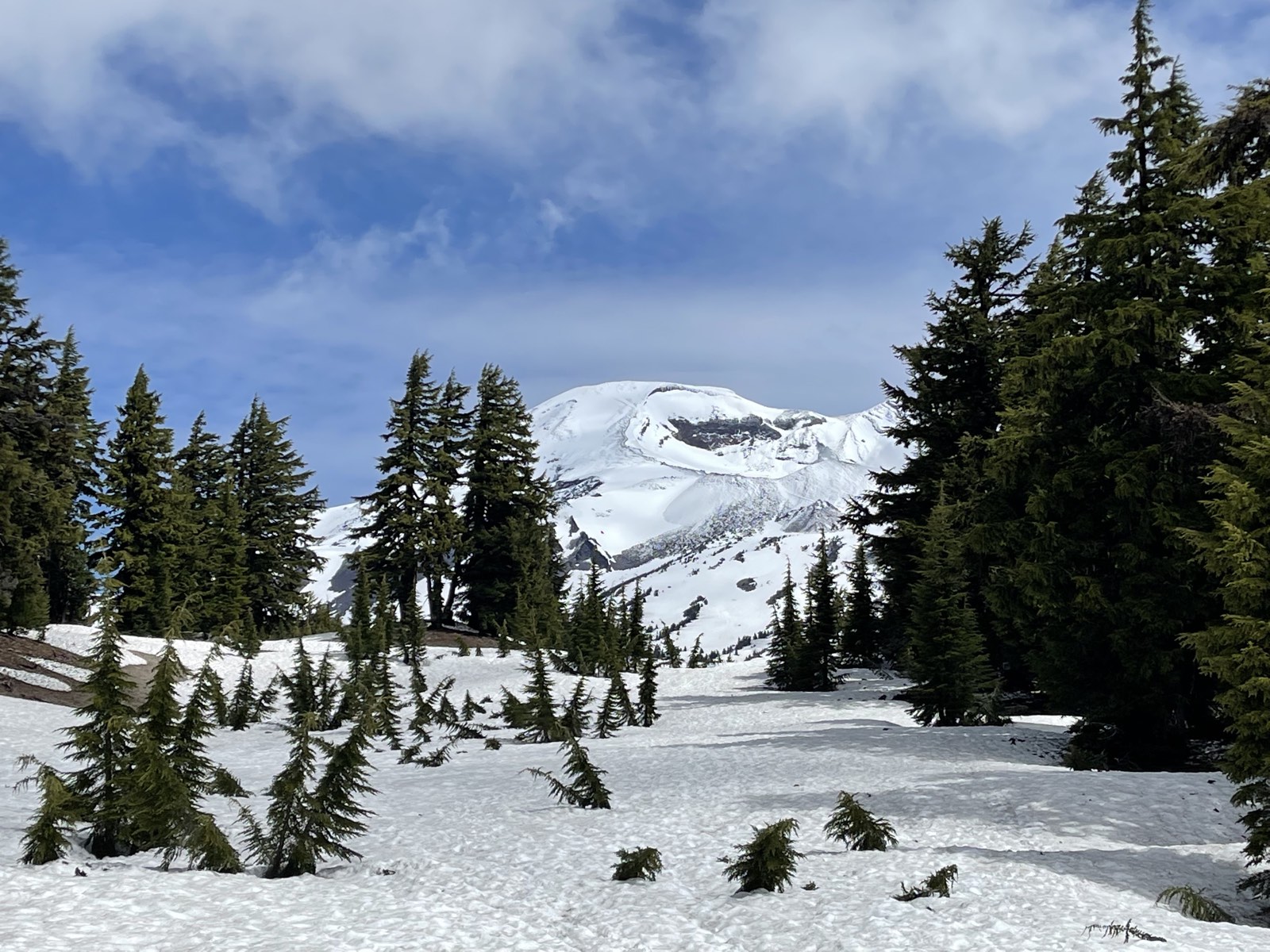
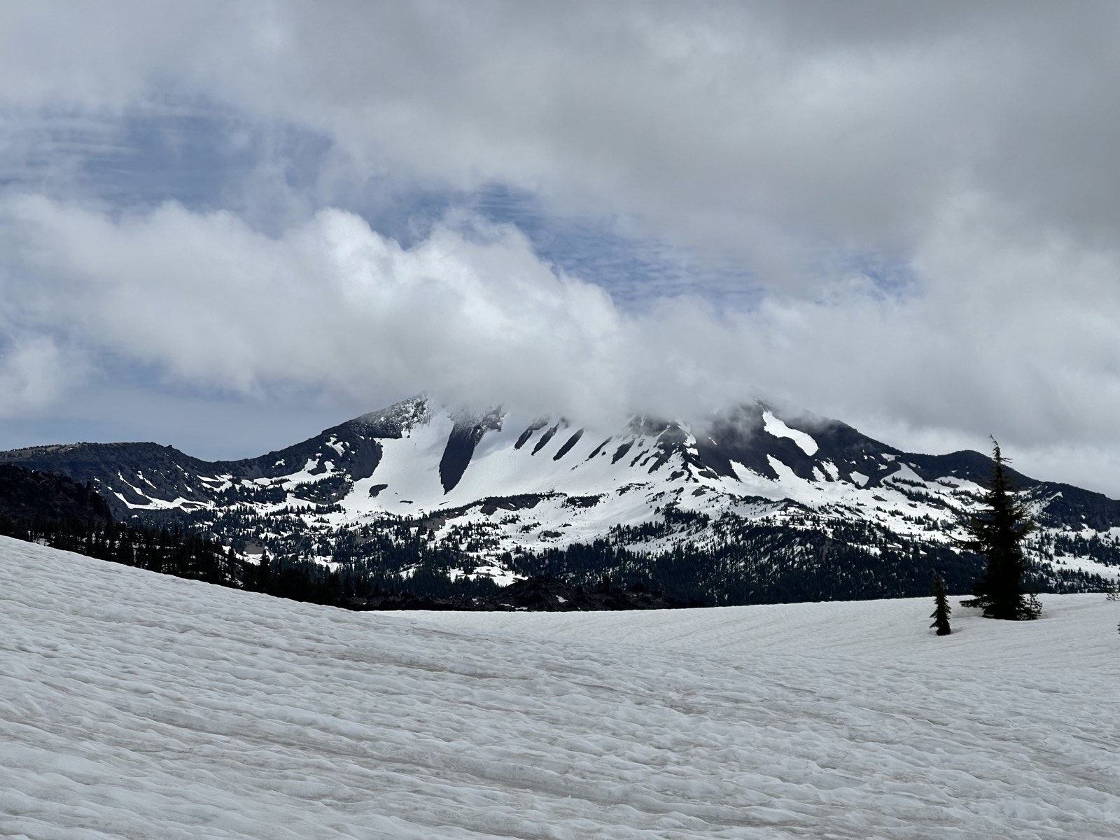
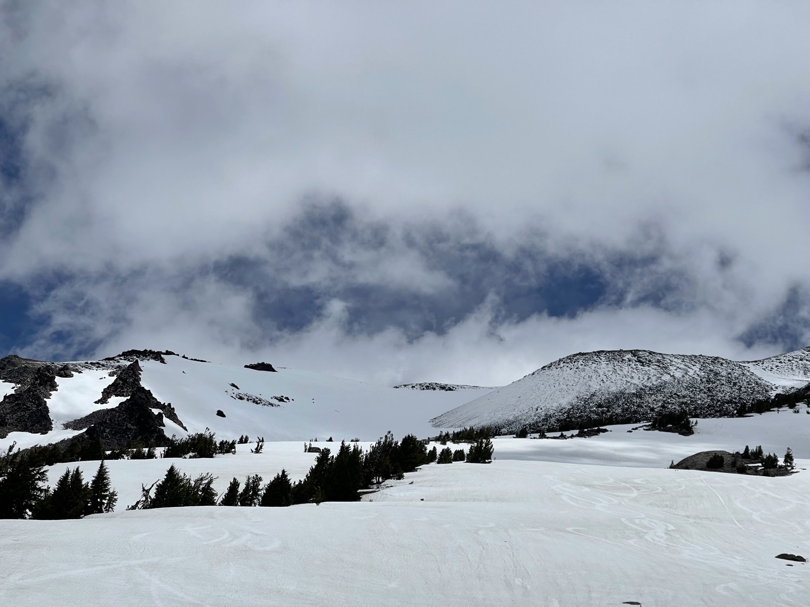
After making it out of the forest, I reached the plateau. One of the best parts of any climb is emerging above the tree line and watching the view suddenly open up. From the plateau, I got my first glimpse of South Sister, and the mountain looked magnificent. I could see clouds moving above the summit. Everything was quiet, with the snow absorbing every sound. My immediate thought was, "Am I really going to climb this?" Since my stamina felt good and I had no signs of altitude sickness, I decided to push as far as I could.
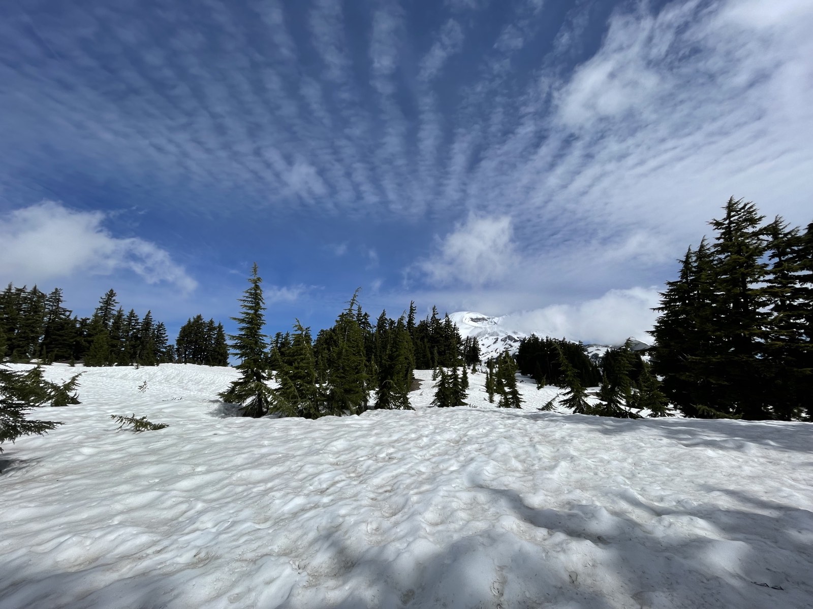
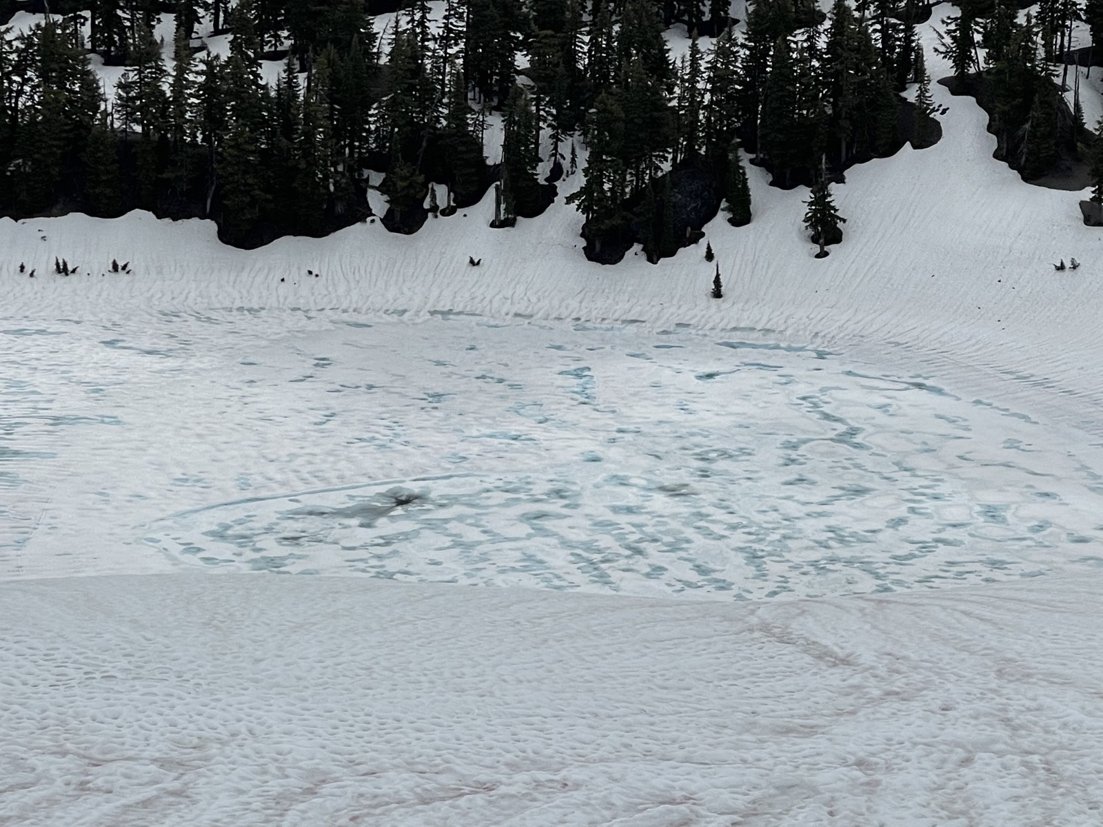

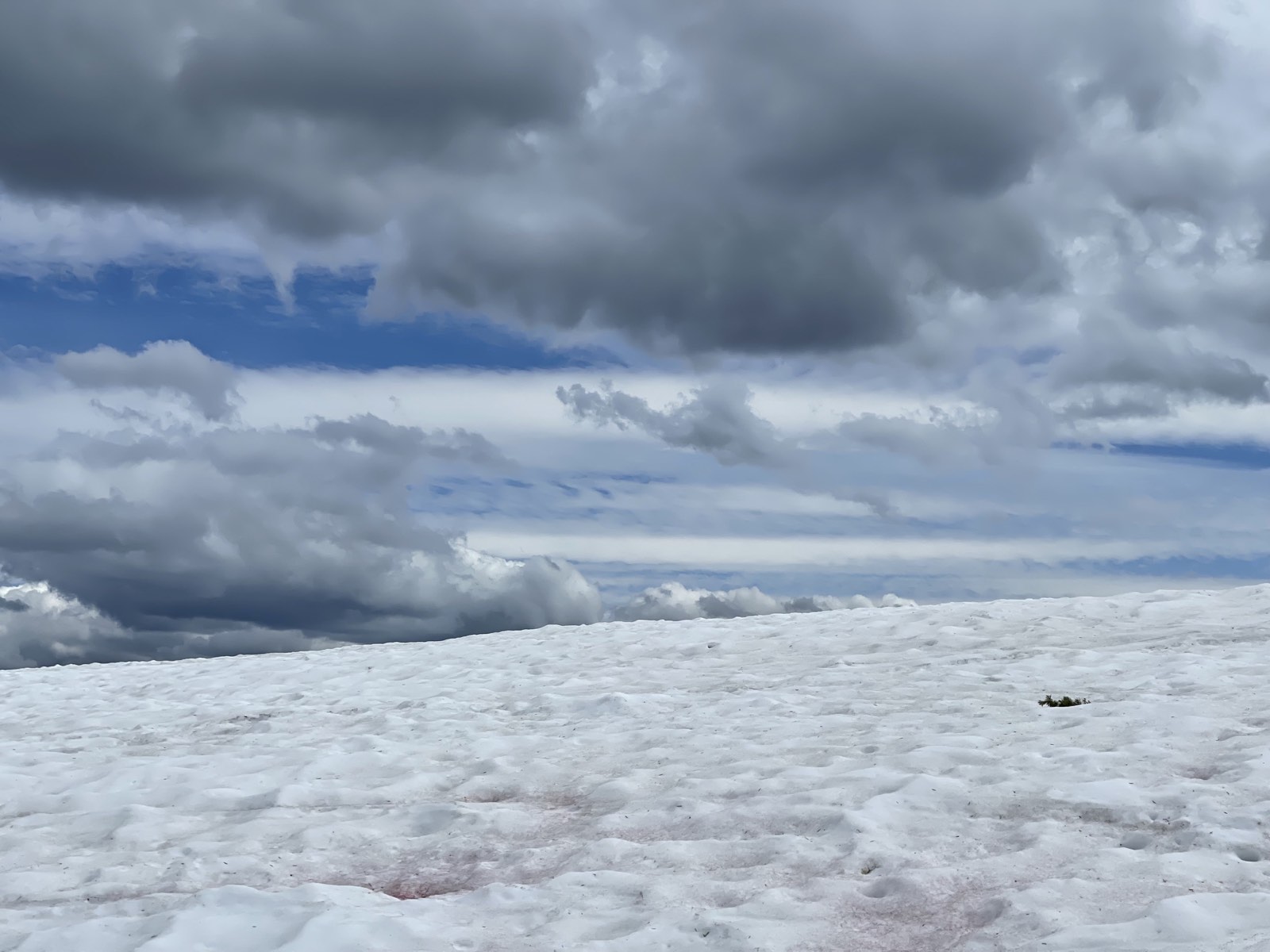
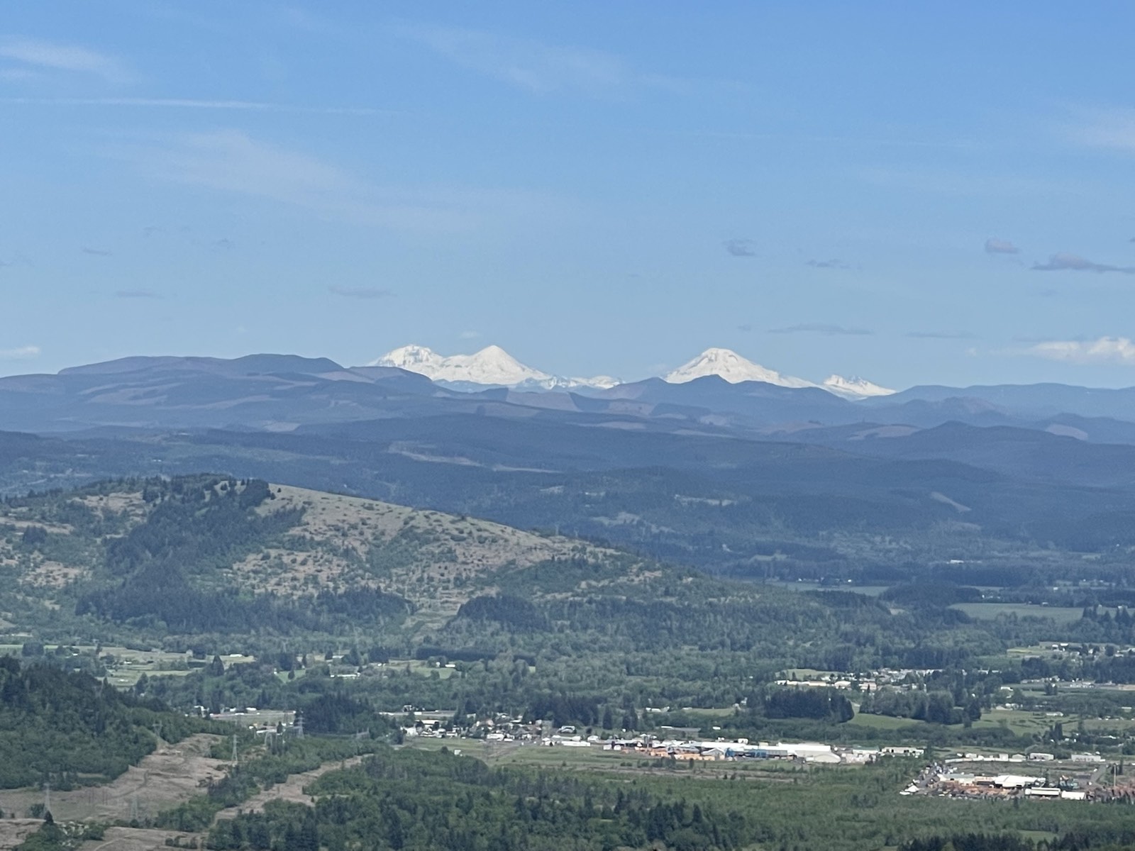
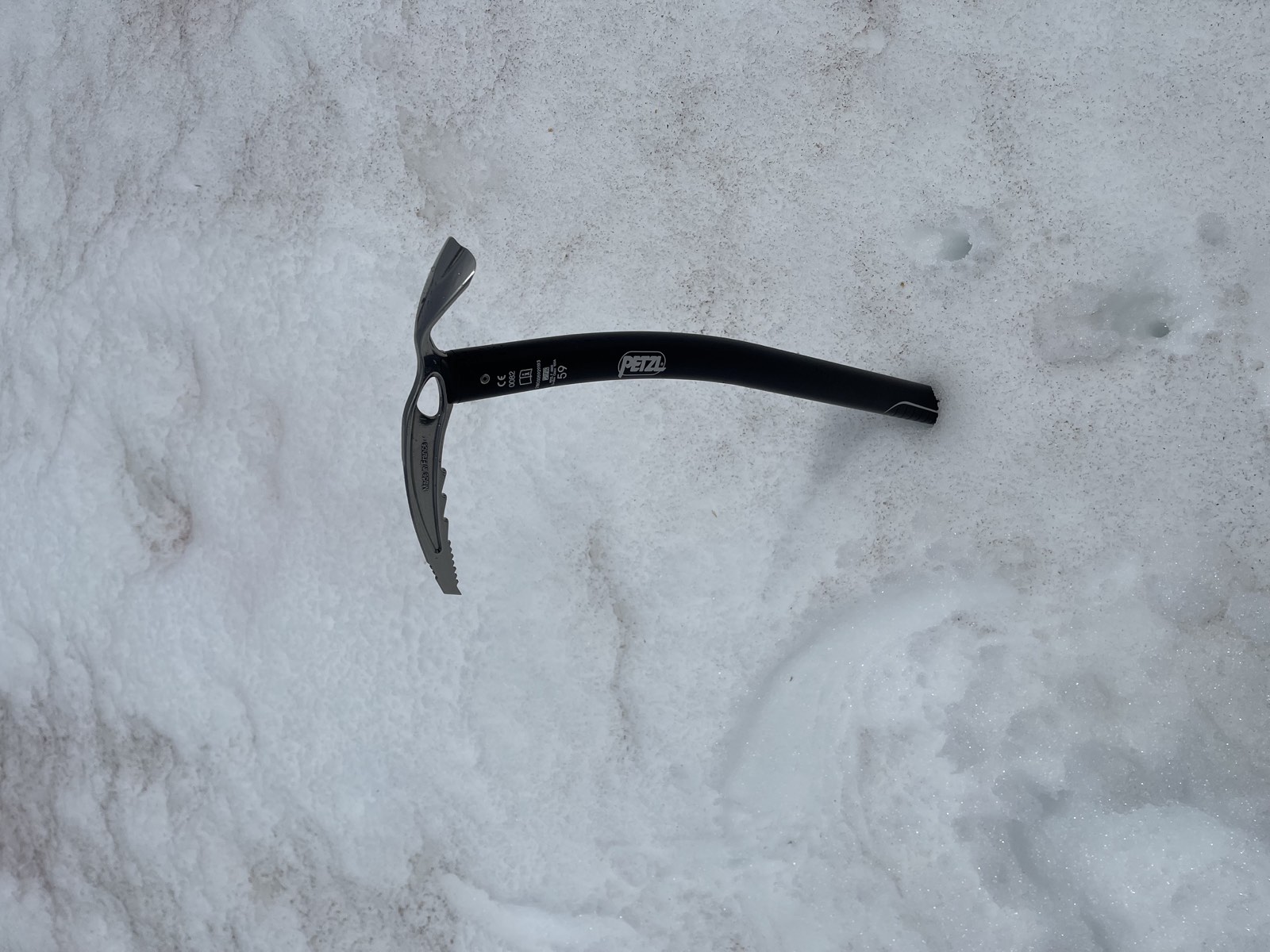
The plateau seemed to last forever. Snow started building up between my hiking shoes and microspikes, and my feet grew cold. I met a guy on skis, which looked like a great idea as he cut through the snowfield with ease. After the plateau, the real climb began. The slope grew significantly steeper as I approached Lewis Glacier, which has a 45-degree incline. The higher I climbed, the more the view opened up. Every time I looked back, I could see the entire Cascade Range across central Oregon. As my feet began to slip, I traded my hiking poles for my ice axe, which gave me much more confidence while anchoring myself on the slope. I took my time and kicked steps to make a "staircase" in the snow. I wished I had crampons; they would have helped a lot in that situation.
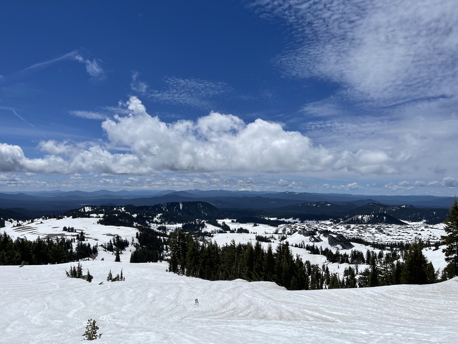
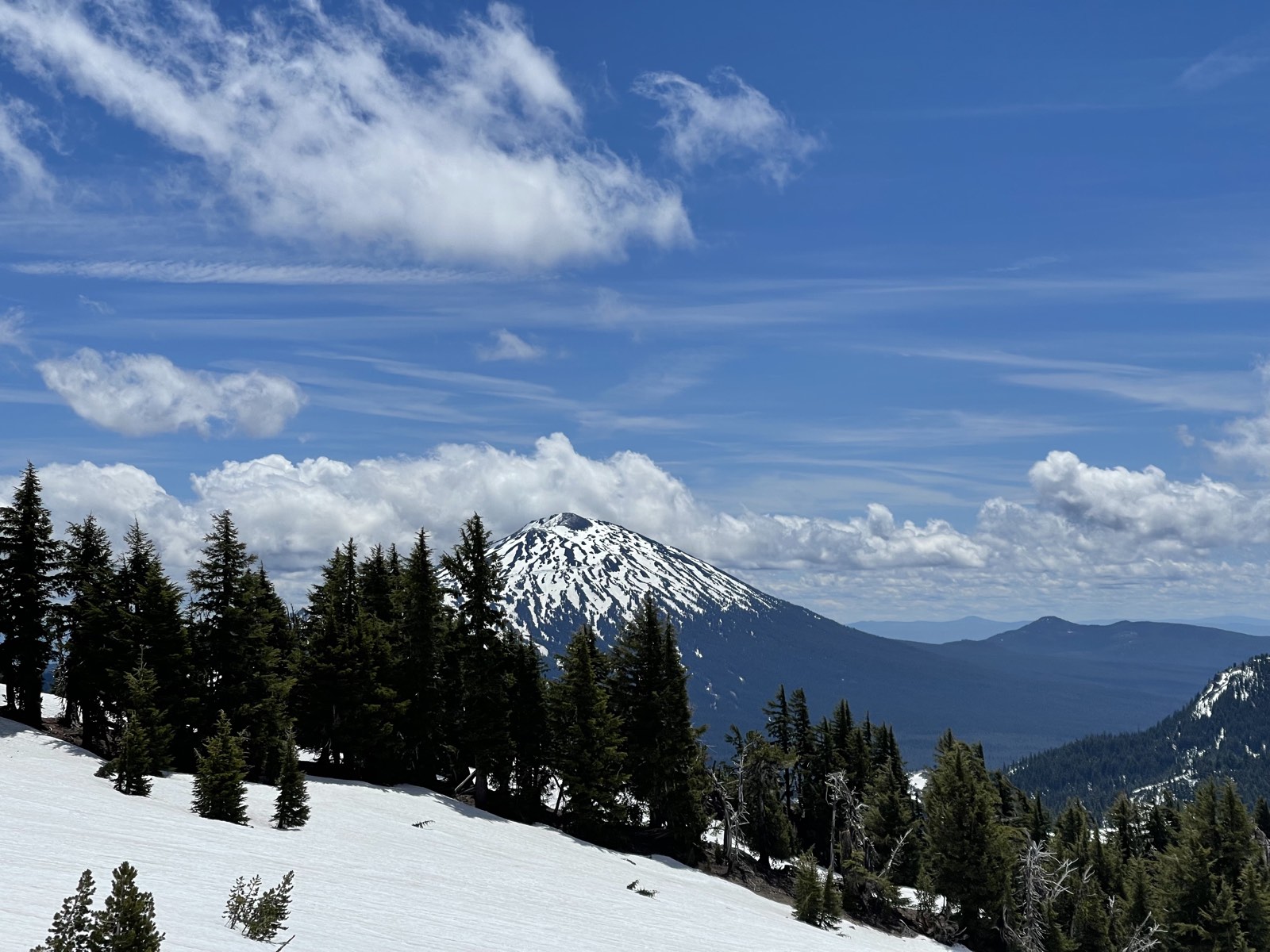
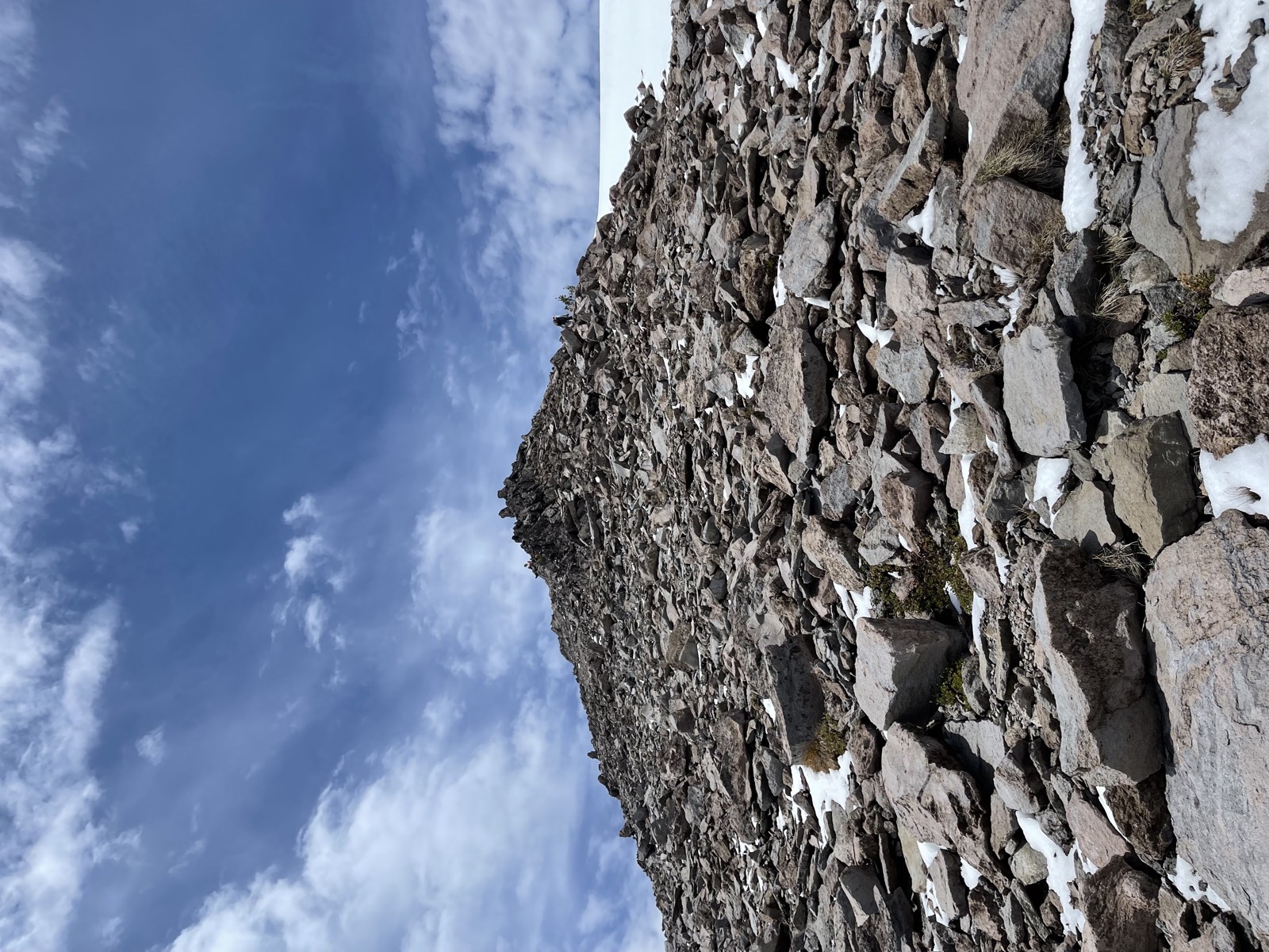
Above Lewis Glacier, the trail flattened out a little and the summit came into view. It looked so close, but it was actually almost another 1,000 ft up. I began pushing toward it, scrambling over scree and large boulders along the way. Nothing was stable! I watched rocks tumble downhill after I stepped on them. Finally, I made it to the "summit." It looked like the top, but when I peered over the other side, there stood the real summit. The clouds had started rolling in again, though, and I did not want to risk it, so I headed back down.
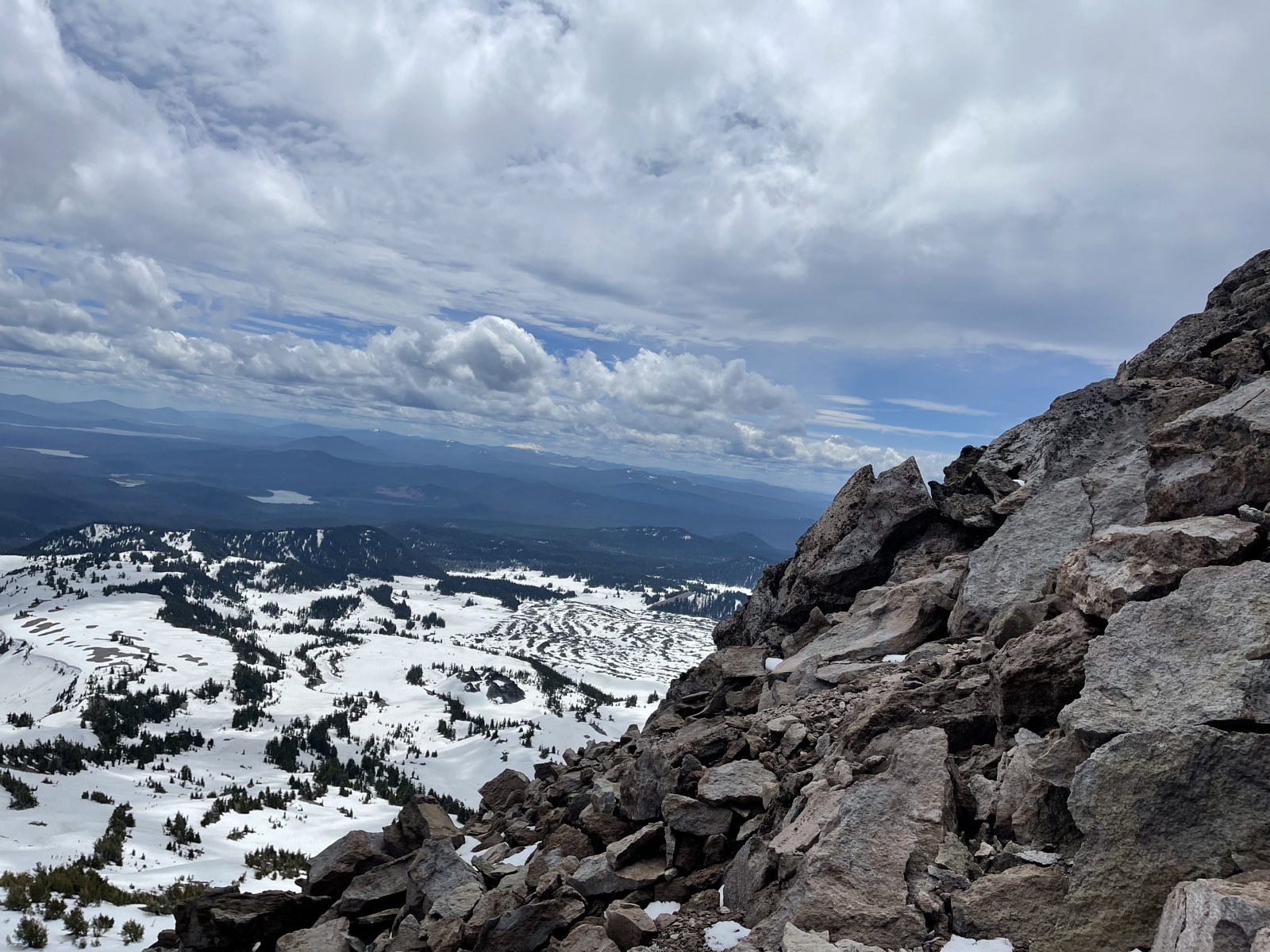
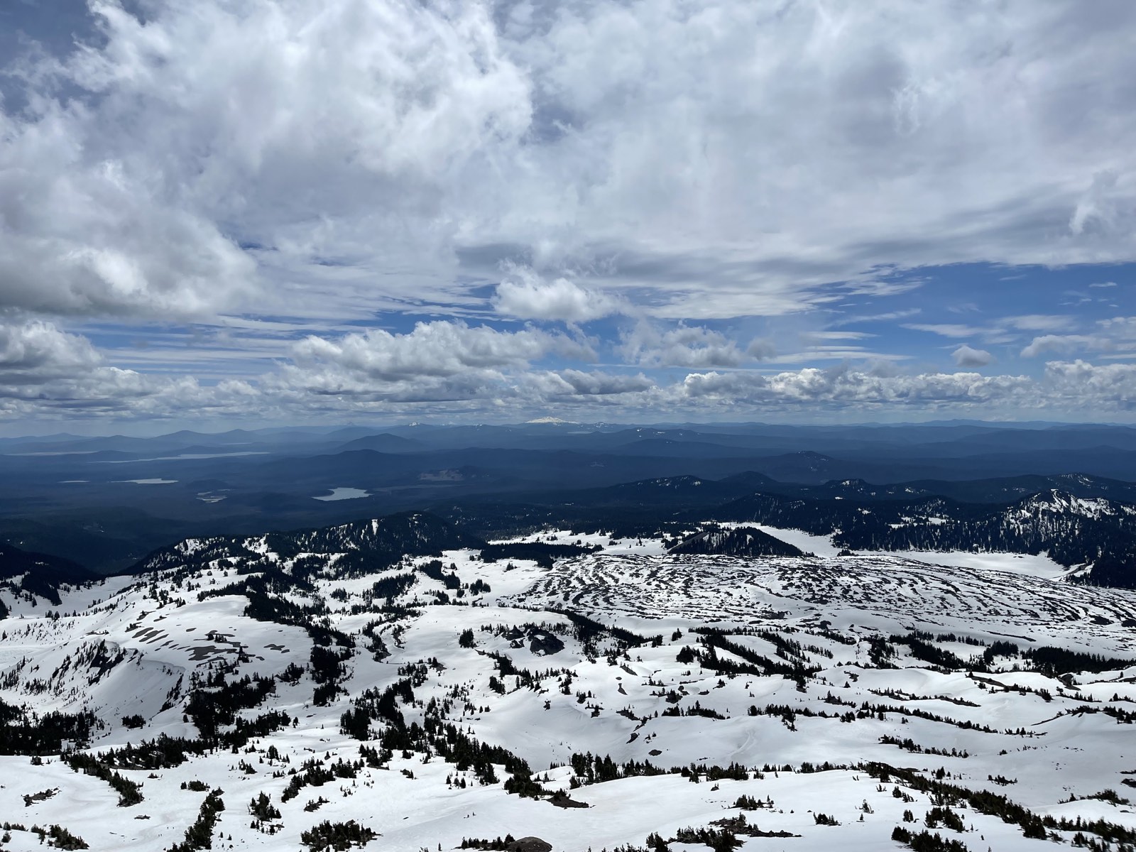
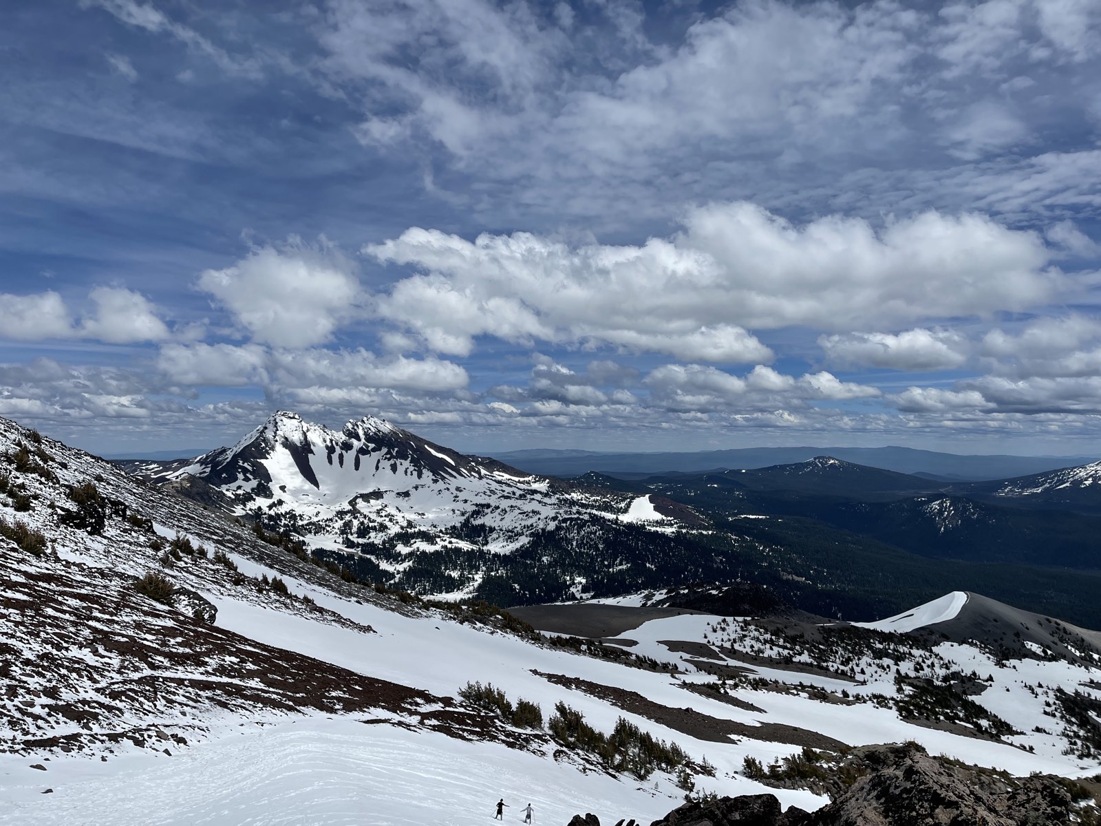
I glissaded (butt-skied) down the steep section, which was definitely the best part of the trip. The whole Cascade Range stretched out in front of my feet as I slid down the mountain. At times, I felt myself going a little too fast, so I took the opportunity to practice self-arresting with my ice axe. After about three hours, I made it safely back to my car. I was really proud of myself and felt incredibly accomplished.